
New releases...
Coming Soon
![]()
Podcasts
Listen to the following authors being interviewed about their books
Hans Breuer - A Greenhorn Naturalist in Borneo' Episode 91
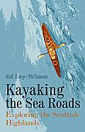
Ed Ley-Wilson - 'Kayaking the Sea Roads' and Always Another Adventure podcast
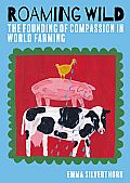
Emma Silverthorn - 'Roaming Wild: The Founding of Compassion in World Farming'
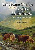
This SciPod is a summary of Chapter 2 and Chapter 3 in the book 'Landscape Change in the Scottish Highlands: Imagination and Reality' by Dr James Fenton
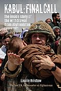
Sir Laurie Bristow was one of the panel guests on The Monocle Daily, on the 17th April, presented by Andrew Mueller Monocle Radio. Listen to the episode here
Reviews
|
|
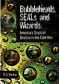
‘…uses over 150 interviews and his own experiences to tell the under-reported and now mostly forgotten role these American bases in Scotland played in the defence of NATO and the United States from Soviet aggression from 1960 to 1997. …does more than chronicle the history and importance of US bases in Scotland. …best parts … are the anecdotal interactions between the Americans based there during the Cold War and the local Scottish people… …a joy to read, while those who want a deeper understanding of how the Cold War played out will also want to explore Bubbleheads, SEALs and Wizards’. Joseph Mazzafro, retired US Navy Captain, formerly US Defense Intelligence Agency’s Liaison Offier (DIAL London) with the Ministry of Defence (MODUK) ‘…opens the door to a fascinating and little-known chronicle of Scotland’s critical military and intelligence roles in Allied efforts during the Cold War. It is an entertaining and enlightening story of planes, submarines, submariners (bubbleheads), ships, signals intelligence, secret balloons and Russian spies. …leaves no stone unturned in his fast-paced and extremely interesting coverage how Scotland and the Scottish people helped to win the Cold War. … What makes this book come alive for the reader and puts them in the story is Mackay’s extensive use of first-person interviews of those who made this bit of Cold War history. …you will enjoy this well-written and well-sourced behind the scenes look at one of the most important chapters in the history of the Cold War. This is the perfect book for every Cold War enthusiast and should enjoy a prominent place on their bookshelves’. The Cipher Brief
|
|
‘ …this is a truly inspiring story of one humble couple, who decided they would try to help animals’. England Naturally |
|
|
|
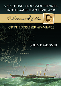
'...Messner has expertly gathered and synthesized a broad array of sources to piece together Wyllie’s story in vivid detail. ... This fascinating, well researched, and lavishly illustrated story will be of great interest to readers interested in naval history, the role of North Carolina in the conflict, and great adventure stories of the Civil War more generally'. The Mariners Mirror, The International Quarterly Journal of The Society for Nautical Research |
Author News
Sir Laurie Bristow will be a panel guest on The Daily Monocle, evening panel show on Monocle Radio, on the 17th April at 6pm.
Ed Ley-Wilson will be speaking at the Scottish Canoe Association Annual Gathering on the 20th April.
David J. Perkins was a guest speaker at Cumbria Recorders' Conference, Cumbria Biodiversity Data Centre in February and will be giving a talk at Bromley Beekeepers in April.
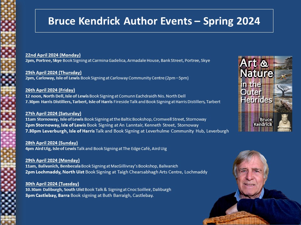
Bruce Kendrick will be in the Outer Hebrides for a series of Spring talks and book signings - see below for information
Hamish Brown will be at Strathearn Art, Crieff on the 10th May for a talk: The Mountains look on Marrakech.
Bestselling Titles
PDFs and Ebooks
Author News
Featured
Wild Places, Wild Encounters
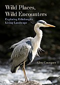
This is a book about reconnecting to nature wherever we find ourselves living and the personal be...